
Precision Horticulture
Fertiliser efficiency and increasing farm efficiency: Using aerial imagery for practical benefits is key to improving farm performance.

AERIAL IMAGERY
We work with satellite imagery for a wide scale view of farms, vineyards and orchards.
FARM MAPPING
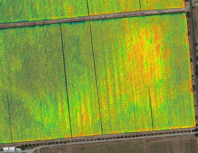
We work with satellite imagery to produce normalised difference vegetation index (NDVI) maps — a method that identifies whether an area contains live green vegetation or not — that can provide an early warning of crop stress and crop health issues on farming properties.
Soil Moisture Monitoring
Water use efficiency for quality: Soil moisture sensors assist with irrigation decisions and responsible water use. DJ's Growers offer subscription-based soil moisture monitoring equipment installed in-situ with farmers throughout South Australia, providing up to date moisture information to their smart device or computer - accessible 24/7.
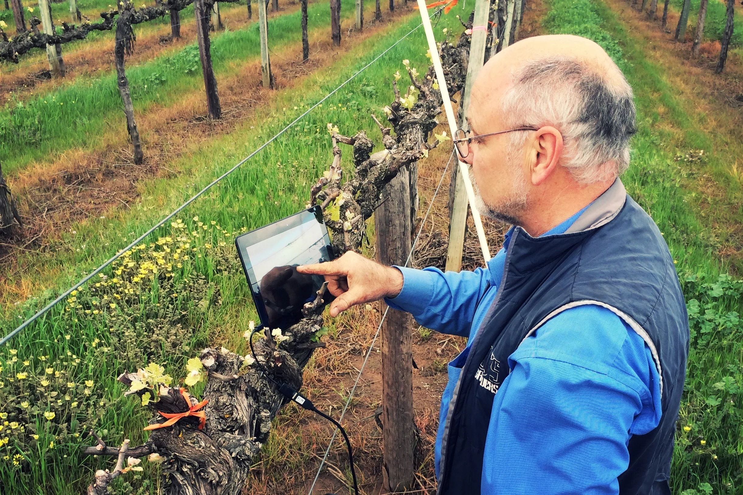
DJ's water probes are suitable for many types of irrigated crops - ask us for more information.